
Data transparency
Always know where the data came from
Compare several seismic networks and understand why event parameters are revised.
- USGS
- EMSC
- AFAD
- GeoNet
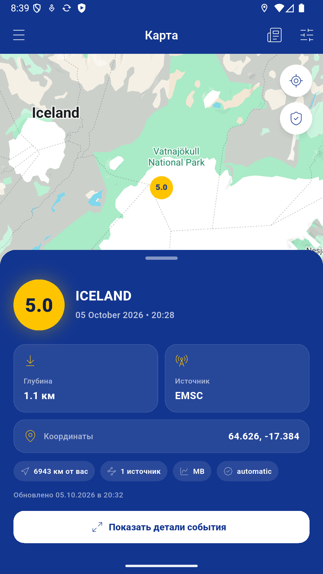
Four networks instead of one blind source
The app uses open publications from USGS, EMSC, AFAD and GeoNet. These organizations cover different regions and use their own stations, calculation models and review procedures.
Earthquake Alerts does not alter an estimate to make it appear more precise. The interface keeps the source and update time visible so every number has context.
Why the numbers can change
Initial parameters are often computed automatically. As more station data arrives and specialists review the event, magnitude, depth, coordinates and even event type can change.
Two networks may publish different estimates for one earthquake. This does not necessarily indicate an error: station sets, crust models, magnitude scales and calculation times differ.
Event merging
Records close in time and location may be presented as one earthquake with several sources. This reduces duplicates on the map while keeping related sources visible. Grouping does not make one estimate officially preferable.
Reading an event card
- Magnitude describes event size but does not equal expected damage at a specific place.
- Depth affects perceived shaking together with distance and local conditions.
- Distance is calculated from the selected user location.
- Updated time describes record freshness, not the earthquake origin time.
- Source identifies the network behind a particular estimate.
Limitations
Availability depends on external networks, app servers and internet connectivity. Data can be delayed, temporarily unavailable, duplicated or incorrect.
For decisions involving life, health or evacuation, rely on official local authorities and emergency services. Earthquake Alerts is an information aggregator, not an official warning channel.